About
Niagara River Area of Concern (AOC)
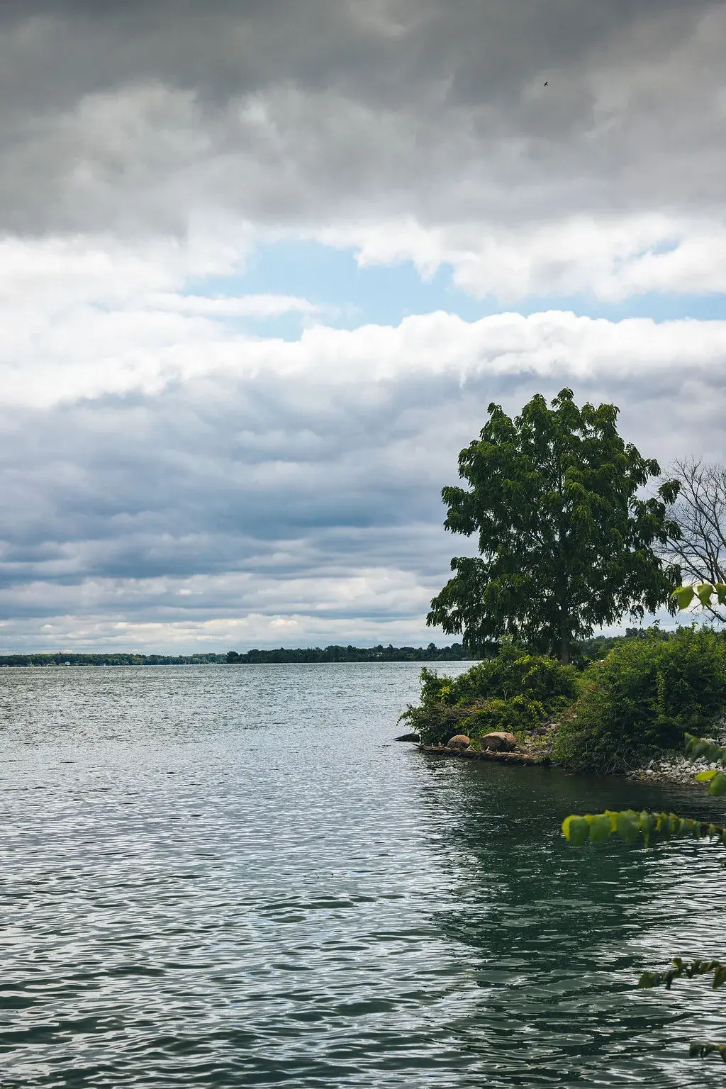
The Niagara River is important for ecological, recreational, and economic uses.
It is a source of drinking water, power generation, tourism, and recreation. The river supports over 1200 species (see Niagara River Ecology)!
To guide remediation efforts, all Areas of Concern (AOCs) identified in the Great Lakes Water Quality Agreement (GLWQA) assessed a possible total of 14 environmental indicators (called Beneficial Use Impairments (BUIs)). The 14 indicators are common environmental challenges that interfere with human use and enjoyment of the water.
The goal of the Remedial Action Plan (RAP) is to complete all actions that will restore the beneficial uses. The RAP is a highly collaborative effort, with input and engagement from a wide range of partners, Indigenous communities, academic experts, environmental organizations, all levels of government, and members of the public. Together, the shared goal is to address all remaining BUIs and remove the Niagara River from the list of AOCs.
A Unique River
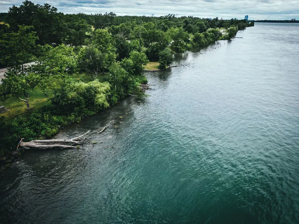
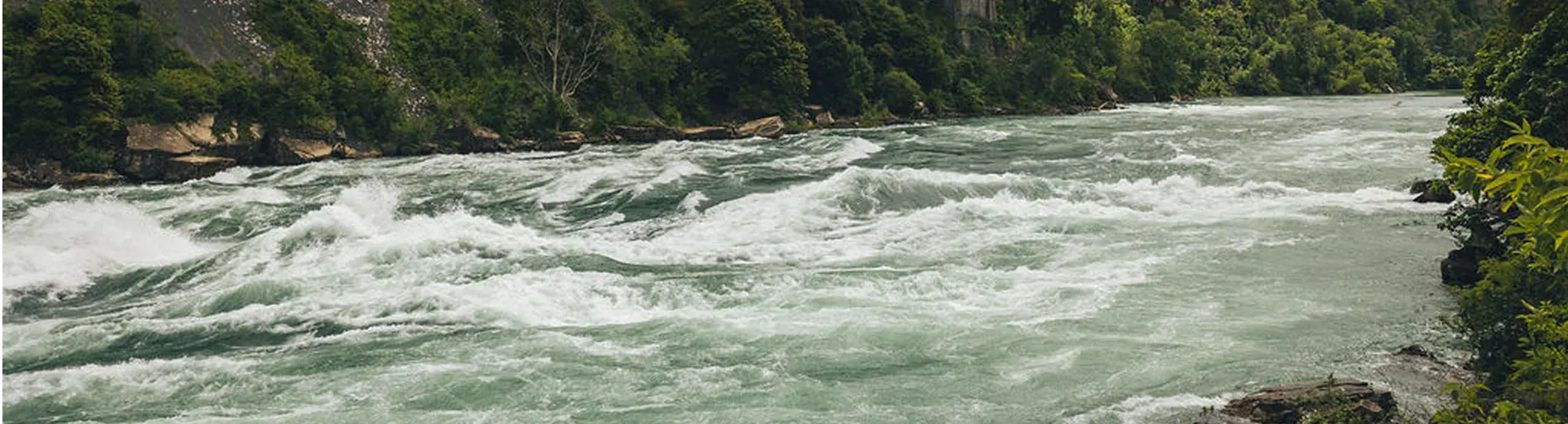
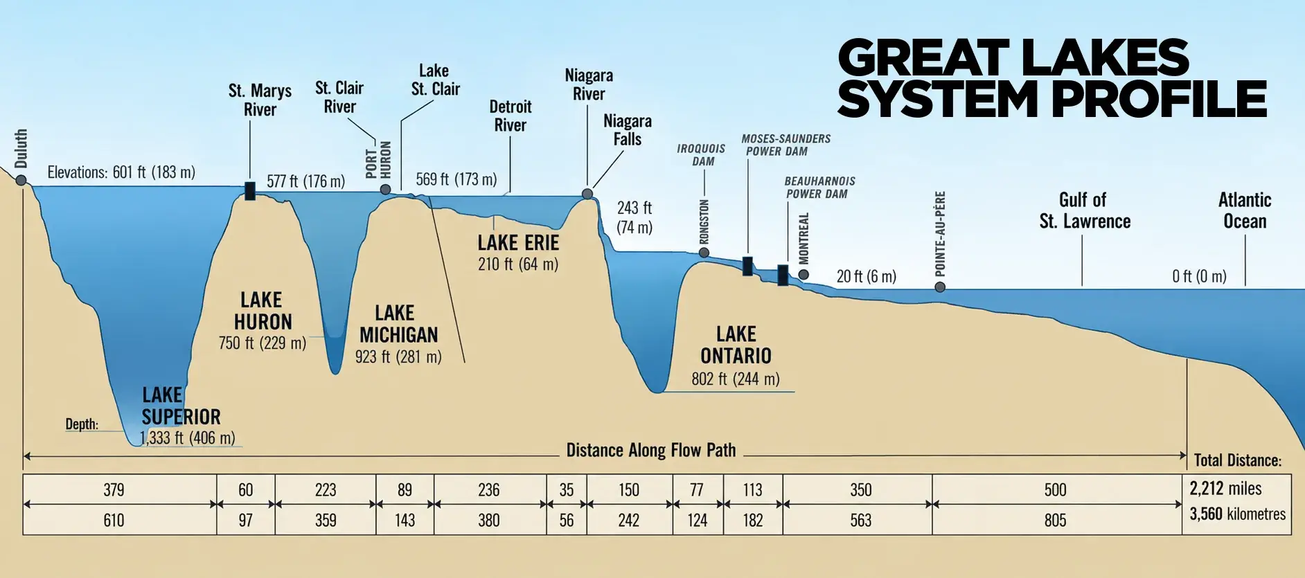
The Niagara River is an integral part of the largest freshwater system on Earth: the Great Lakes Basin. Famous for its world-renowned waterfalls, the Niagara River connects Lake Erie to Lake Ontario and carries with it water from Lakes Superior, Huron, and Michigan.
The Niagara River is also an international waterway, connecting Canada to the United States along its 58-km length. With an average flow rate of 5,700 cubic meters per second, the Niagara River accounts for 83% of the water flowing into Lake Ontario, which is a source of drinking water for millions living in Ontario. In the Niagara Region alone, approximately 130,000 people rely on the Niagara River and Lake Ontario for their drinking water.
Other uses for the Niagara River include fish and wildlife habitat, recreational activities, power generation, and water for industry.
Early Inhabitants & European Settlement
Thousands of years ago, Niagara was discovered by its first inhabitants, Indigenous Peoples. The Neutral Indians have been recorded as one of the earliest native tribes residing in the Niagara region. It is estimated that in the early 1600s there were approximately 12,000 Neutrals living in the area, which made them the largest Native group in the Northeast in the 17th century. Their territory was situated around the western end of Lake Ontario and to the north of Lake Erie, claiming the land on both sides of the Niagara River. This entire district was called Onguiaahra, which means, “the strait” or “thundering water.” The name Niagara was derived from this Native word and was also used to name the thundering waters, Niagara Falls.
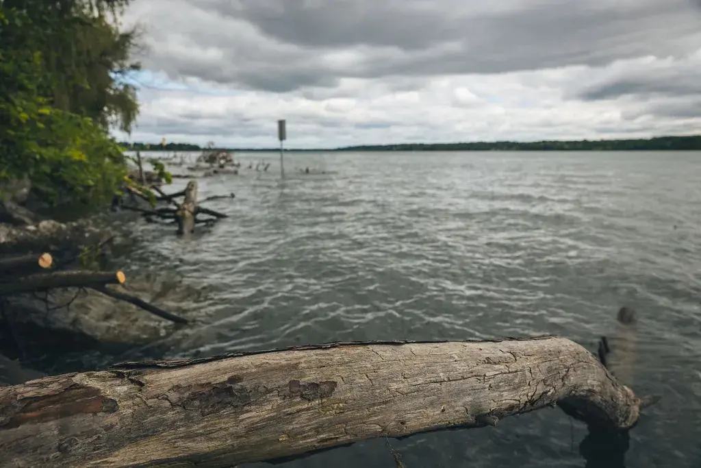
The importance of the river for the fur trade and as a route into the interior was recognized by the French who built Fort Niagara at its mouth in 1678. The British gained control in 1759, and the Fort was a major supply depot during the American Revolution. Two consequences of the Revolutionary War in 1783 were the river becoming part of the boundary between British and American territory, and Niagara-on-the-Lake and Fort Erie being settled by fleeing Loyalists.
There is a long history of power generation and industrial development along the Niagara River. The advent of hydroelectric power harnessed from Niagara Falls led to the proliferation of chemical industries along the American side of the river. As pollution levels increased and gained notoriety through well-publicized public health disasters such as Love Canal, pressure mounted from citizens, environmentalists, and politicians to proactively address the severe degradation of the Niagara River.
Protection and Restoration
The GLWQA, first signed in 1972 and renewed in 1978, expressed the commitment of Canada and the U.S. to restore and maintain the overall integrity of the Great Lakes Basin ecosystem, including the Niagara River. In 1987, an amendment to the Agreement called for the development and implementation of Remedial Action Plans (RAPs) to restore ecosystem health at 43 AOCs located within the Great Lakes Basin. That same year, the Niagara River was designated by federal and provincial governments in cooperation with the International Joint Commission (IJC) as one of the 43 AOCs requiring a RAP. The main concern for the Niagara River was degraded water quality and loss of habitat essential for the river’s animals and ecosystems.
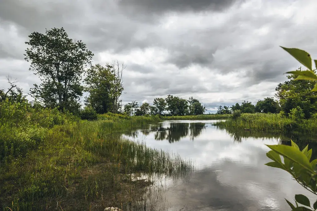
Significant progress has been made in the Niagara River since the RAP process was first initiated in 1987. Successes achieved include significant improvements in water quality and the clean-up of contaminated sediments. These efforts have improved the overall health of the Niagara River and enhanced its ability to support the human and wildlife populations which depend on it. The successes of the Niagara River RAP would not have been possible without the cooperation of various levels of government and the active involvement of the public.
Did you know?
Guided by the Boundary Waters Treaty between Canada and the U.S. (signed in 1909), the IJC is an independent binational organization that prevents and resolves disputes related to the shared waters.
The IJC’s recommendations and decisions consider binational use of water, including drinking water, commercial shipping, hydroelectric power, agriculture, ecosystem health, industry, fishing, recreational boating, and shoreline property.
Geology
The Niagara River and the entire Great Lakes Basin is a legacy of the last Ice Age. Over 18,000 years ago, Southern Ontario was covered by ice sheets several kilometers thick. As the ice sheets advanced southward, they gouged out the basins of the Great Lakes. As they melted northward, they released large volumes of melt water into these basins. The Niagara Peninsula became free of the ice about 12,500 years ago. As the ice retreated northward, its meltwaters began to flow down through what became Lake Erie, the Niagara River, and Lake Ontario, down to the St. Lawrence River and on to the Atlantic Ocean.
The total drop in elevation along the river is 99 metres. Niagara Falls has moved approximately 11 kilometres upstream from the Niagara Escarpment in the last 12,000 years, resulting in a gorge below the falls which includes the Niagara Whirlpool. The Niagara River also features two large islands and numerous smaller islands. Grand Island and Navy Island, the two main islands, are on the American and Canadian sides of the river, respectively. Goat Island and the tiny Luna Island split Niagara Falls into its three sections, the Horseshoe, Bridal Veil, and American Falls.
Ecology
The Niagara River is naturally divided by the Niagara Falls consisting of three separate waterfalls which combine to form the highest volume waterfall in North America (168,000 m³ / minute or 2,800 m³ / second). As a result of this separation, the Niagara River is divided into two similar, but distinct ecosystems based on elevation, the Upper and Lower Niagara River. The Upper Niagara River’s headwaters flow from the warmer and shallower Lake Erie, while the Lower Niagara River flows into the cooler and deeper Lake Ontario.
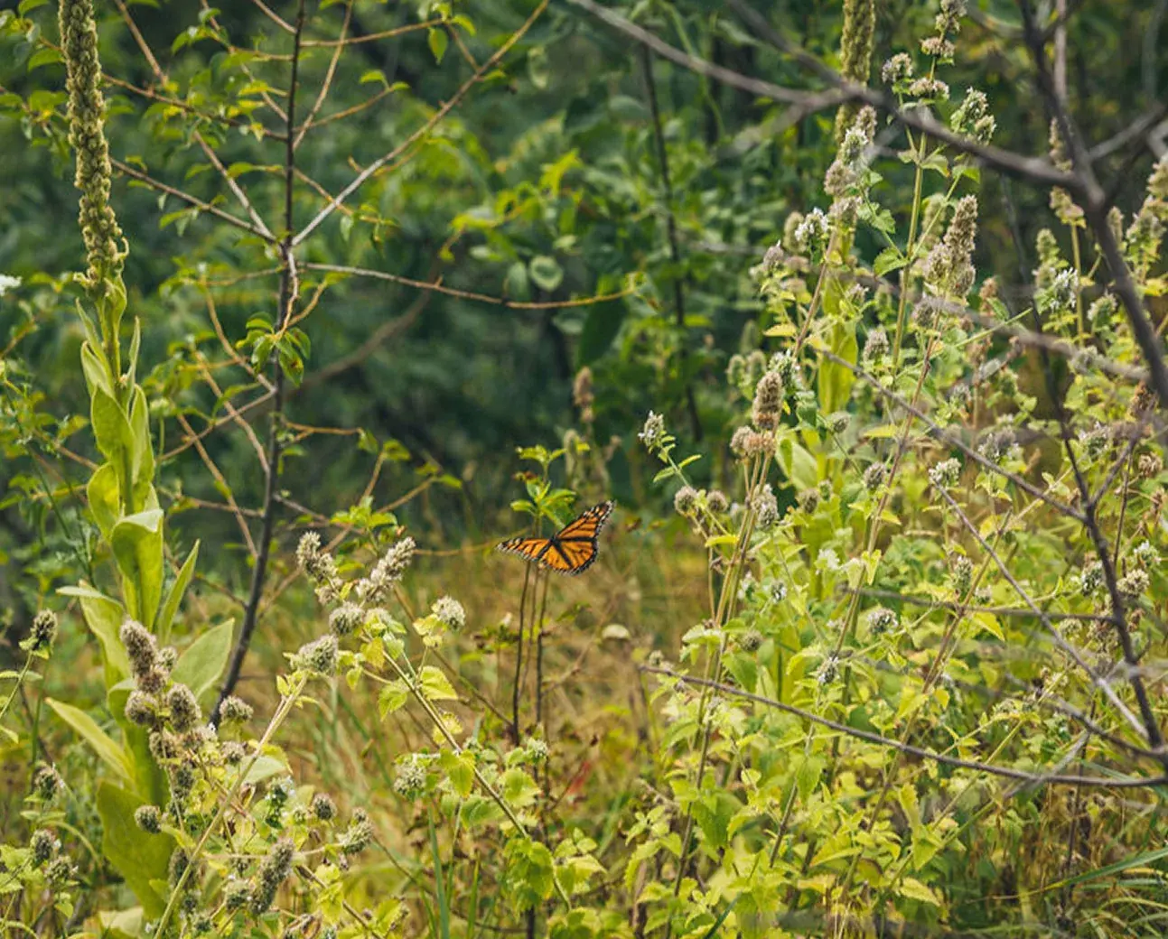
Across the 58-km Niagara River corridor, which includes the upper and lower sections of the river, both ecosystems support over 1250 species, including:
- 338 species of birds
- 35 species of mammals
- 14 species of reptiles
- 17 species of amphibians
- 12 species of mussels
- 734 species of plants
Of these species 59 are protected federally in Canada and 70 provincially in Ontario. One species is protected federally in the U.S. and 54 species protected by New York State.
The Niagara River corridor supports numerous species during critical life stages (e.g., nesting, migration, spawning, overwintering).
There are over 60 fish species found in the Niagara River, including Lake Sturgeon, Smallmouth Bass, Yellow Perch, and Rock Bass. Periodic large migratory runs of fish species such as Emerald Shiner, Spottail Shiner and Gizzard Shad are common in the Upper Niagara tributaries. The Emerald Shiner (Notropis atherinoides) is a keystone species in the Niagara River and are considered the base of the food web for many fish-eating birds and predatory fish. They are a very important food source for the Common Tern (Sterna hirundo), which is a threatened species in New York State.
Fish Species Found in the Niagara River
-
Lake Sturgeon
-
Smallmouth Bass
-
Yellow Perch
-
Rock Bass
-
Emerald Shiner
Keystone species, base of the food web
-
Spottail Shiner
Large migratory runs in the Upper Niagara
-
Gizzard Shad
Large migratory runs in the Upper Niagara
...and over 60 more species found in the Niagara River.
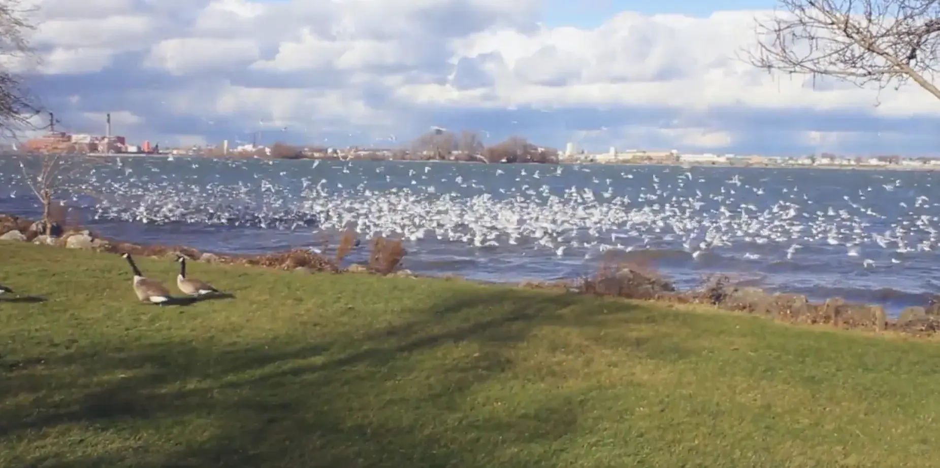
The Niagara River Corridor is considered an Important Bird Area and is a critical overwintering site for waterbirds as it stays unfrozen throughout the cold winter months when most other freshwater bodies are frozen. During this period of extreme hardship, 92 species of birds overwinter in the site, including large congregations of at least 40 species of waterbirds (including gulls and waterfowl). Three species of gulls rely on the Niagara River Corridor, the Bonaparte’s Gull, Herring Gull, and Ring-billed Gull. Observations have also identified around 20 species of birds that are considered at risk by Committee on the Status of Endangered Wildlife in Canada (COSEWIC).
The Niagara River corridor forms part of the Atlantic Flyway, one of four major bird migration corridors in North America.
The Niagara River corridor also includes two ecological communities considered vulnerable, Calcareous Cliff Community and Calcareous Talus Slope Woodland, as well as rare old growth forests.
At least six waterbirds congregate in the Niagara River Corridor in globally significant numbers based on single day surveys, including:
Waterbirds of the Niagara River Corridor
Peak counts recorded in single-day surveys. Each of these species congregates here in globally significant numbers.
-
Canvasback
Aythya valisineria
6,000 to 14,000birds counted
-
Greater Scaup
Aythya marila
15,000birds counted
-
Red-breasted Merganser
Mergus serrator
9,000birds counted
-
Bonaparte’s Gull
Chroicocephalus philadelphia
4,000 to 100,000birds counted
-
Herring Gull
Larus argentatus
40,000 to 50,000birds counted
-
Ring-billed Gull
Larus delawarensis
27,000 to 32,000birds counted
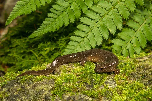
Northern Dusky Salamander
Desmognathus fuscus Carolinian Population
Salamanders are representative of pristine habitat conditions, as they cannot tolerate any type of pollution. In Ontario, the Northern Dusky Salamander’s entire range consists of a single, cascading stream in the Niagara Gorge on the Canadian side of the river, occupying no more than about 5 m. Surveys have identified some 22 individuals and indicate a total adult population that is probably fewer than 250 individuals. Its minute range makes this salamander highly susceptible to extirpation (elimination from the area) if any change to its habitat were to take place. Major threats to this salamander are activities that could affect the water table and dry out the spring that supports its habitat. This species is listed as Endangered in Ontario and is protected under the Endangered Species Act, 2007.
Fast Facts
The river by the numbers
-
5 Lakes
The Great Lakes is the world’s largest surface freshwater system. Lake Superior, Lake Huron, Lake Michigan and Lake Erie all flow to the Niagara River.
-
684,000km²
The total area drained by the Niagara River.
-
58km
The river flows north from Lake Erie to Lake Ontario, to the St. Lawrence River and eventually to the Atlantic Ocean.
-
99m
The elevation difference between Lake Erie and Lake Ontario. Niagara Falls itself is 52 metres high.
-
168,000m³
Water going over the crestline every minute during peak daytime tourist hours. About 500 waterfalls are taller, but it is the combination of height and volume that makes Niagara Falls so awe inspiring.
-
11.3km
How far Niagara Falls has receded in 12,500 years, possibly the fastest moving waterfall in the world.
-
2channels
At Grand Island the river divides into the west channel, known as the Canadian Channel, and the east channel, known as the American Channel.
-
11km
The Niagara Gorge extends from the Falls downstream to the foot of the escarpment at Queenston.