About
Niagara River Remedial Action Plan
In the early part of the 19th century, the Niagara River was considered one of the most degraded places in North America.
The discovery of hydroelectric power harnessed from Niagara Falls led to the rapid expansion of chemical industries along the river.
By the 1970s, there were approximately 700 chemical plants, steel mills, oil refineries, and other industries discharging over 950 million litres of wastewater into the Niagara River each day. As pollution levels increased and gained notoriety through well-publicized health disasters such as Love Canal, pressure mounted from citizens, environmentalists, and politicians to proactively address the severe degradation of the Niagara River.
One River.
Two Countries.
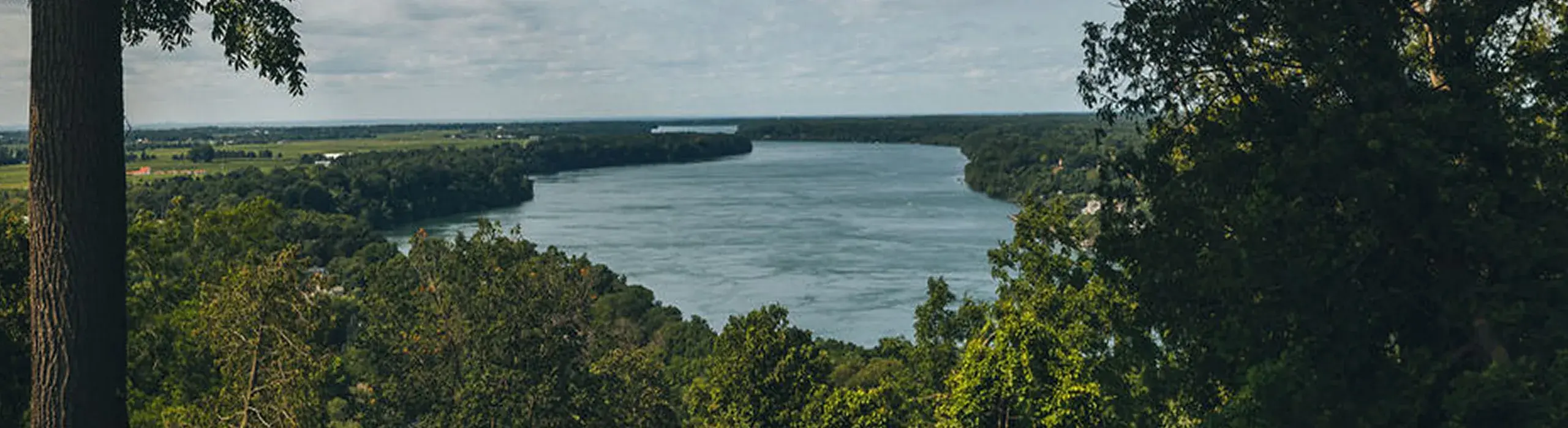
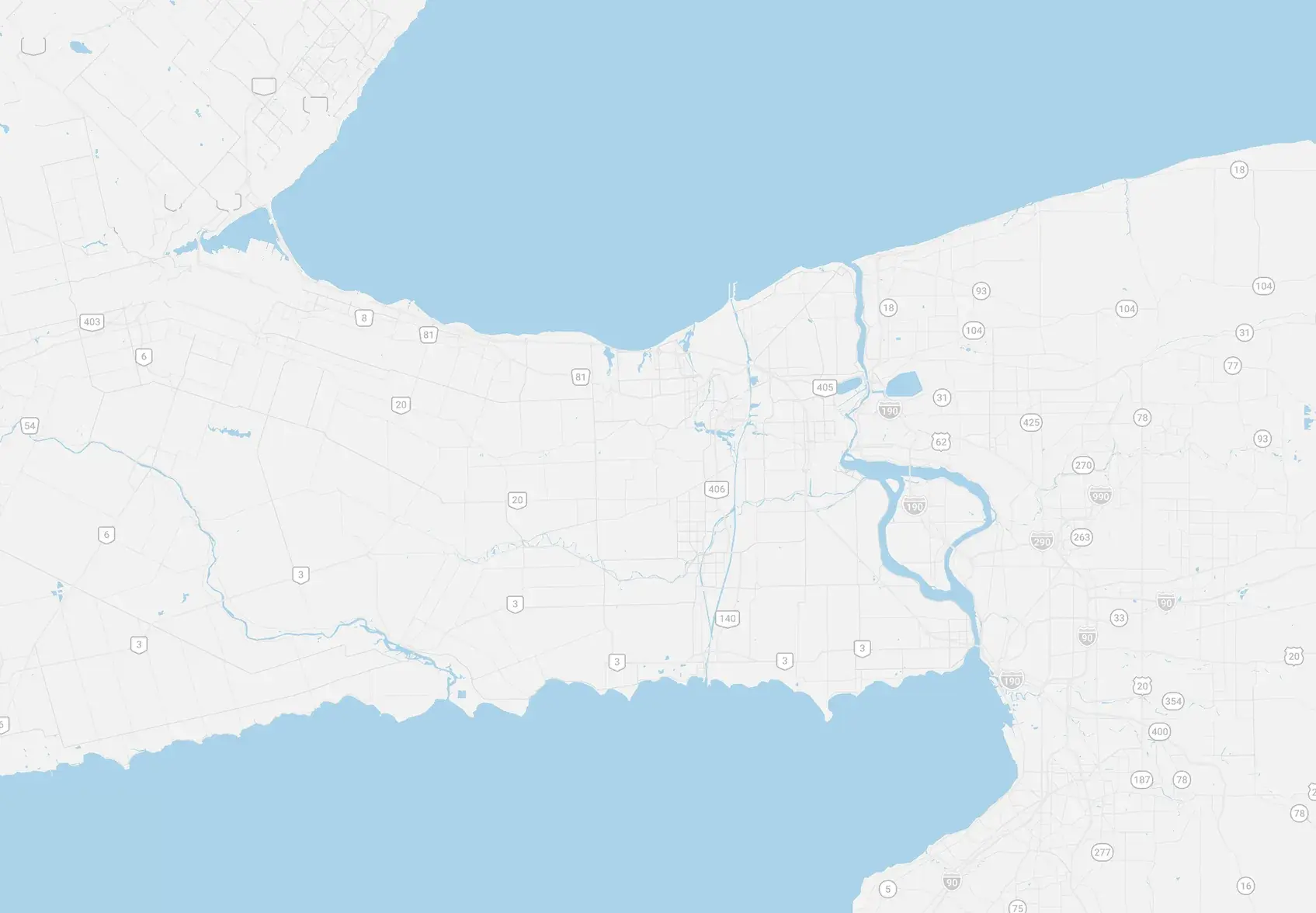
The Niagara River runs 58 km from Lake Erie to Lake Ontario, forming the border between Canada and the United States.
Click the pins to see what is happening where.
Lake Ontario
Lake Erie
Niagara River
Canada
USA
The program
Remedial Action Plan overview
In response to environmental degradation around the Great Lakes basin, the Canadian and the American governments signed the Canada-U.S. Great Lakes Water Quality Agreement (GLWQA) in 1972. The GLWQA commits both countries to work cooperatively to “restore and maintain the chemical, physical, and biological integrity of the Great Lakes System”. During the same period, Canada and Ontario committed to fulfilling Canada’s obligations under the GLWQA through the Canada-Ontario Agreement (COA): Respecting the Great Lakes Ecosystem. The COA was updated in 2014.
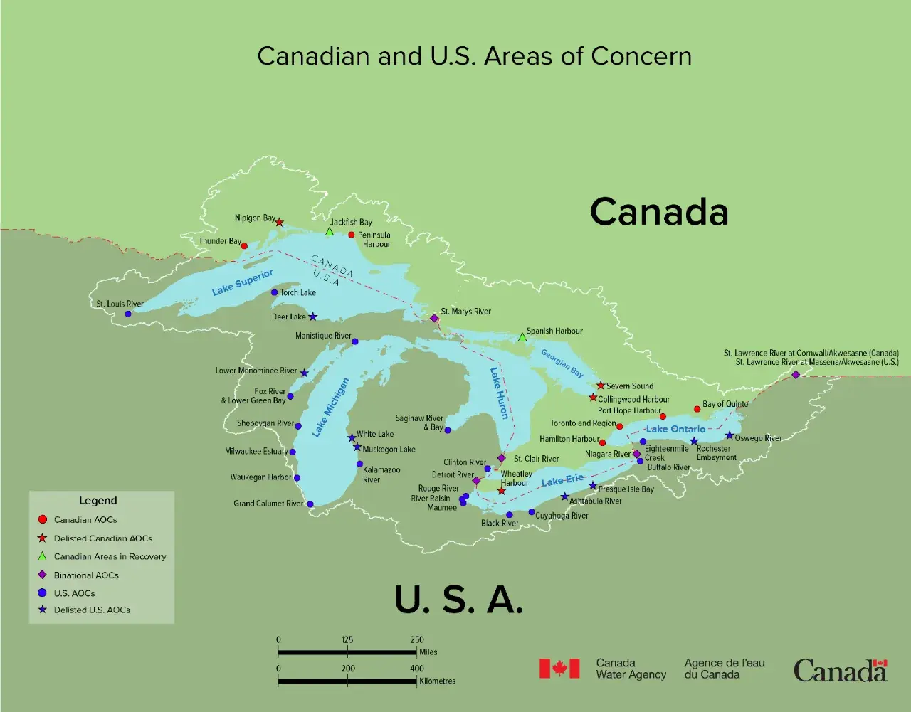
The GLWQA calls for localized, concentrated efforts to restore the 43 identified degraded locations (called Areas of Concern (AOCs)) through the development of cleanup plans (or Remedial Action Plans (RAPs)). The Niagara River is one of five binational AOCs and is one of 32 remaining AOCs in the Great Lakes basin.
Niagara River Remedial Action Plan History
The Niagara River was designated one of 43 Great Lakes AOCs in 1987, prompting the development of a RAP.
1993–1995
- Niagara River designated one of 43 Great Lakes Areas of Concern
- Stage 1 and Stage 2 RAP reports completed
- Loads of 18 priority industrial chemicals reduced by up to 99%
- Nearly 10,000 m² of industrial contamination removed from Welland River Reef
1996–2009
- Niagara Peninsula Conservation Authority began coordinating the RAP
- Three beneficial use impairments re-designated as “Not Impaired”
- Long-term monitoring initiated at Lyons Creek East
- 165 fish barriers improved or removed, opening 800 km of fish passage
2010–2025
- First Niagara River RAP Delisting Strategy released in 2021
- Beach Closings impairment re-designated in 2023
- Degradation of Fish and Wildlife Populations re-designated in 2025
- New sediment remediation approach advanced for Lyons Creek East
- Angler survey completed to better understand fish-consumption habits
- Seven coastal wetland sites restored
- Nearly 2 km of shoreline restored and over 750 m of riverbank stabilized
Map credit: Canada Water Agency, Government of Canada. Learn more at Great Lakes: Areas of Concern.
Delisting
What it takes to finish
An individualized Remedial Action Plan (RAP) is required for each Area of Concern (AOC). The goal of the RAP is to identify and implement actions (e.g., environmental monitoring, restoration), such that scientific evidence demonstrates that the AOC has improved to a state consistent with other Great Lakes locations. When this has been achieved, the AOC can be “delisted” and will be removed from the list.
Delisting occurs when all locally defined actions are completed, the 14 ecosystem indicators restored, and there is support to delist the AOC from local partners, Indigenous communities, technical experts, and multiple levels of government. Binational AOCs require approval from the governments of Canada and the United States.
Who is involved
A shared responsibility
In Ontario, the responsibilities for RAP progress and AOC remediation are shared by the federal and provincial governments through the COA. The administration and implementation of a RAP, however, includes a variety of departments at all levels of government, non-governmental organizations, academia, business and industry, Indigenous communities, and the public.
A local RAP team representing those various stakeholders tracks environmental conditions, activities, and outcomes relevant to the RAP. The Niagara Peninsula Conservation Authority has been responsible for the coordination of the Niagara River RAP since 1999.
Area of Concern Geography and Map
The Niagara River is a connecting channel (strait) that flows from Lake Erie to Lake Ontario.
The Niagara River is a binational AOC that straddles the border between Canada and the United States. Both countries have separate, but complementary RAPs, and do individual assessments and restoration of any impaired ecosystem indicators. While each country has a RAP for the Niagara River, both RAP teams are committed to working together to improve the Niagara River ecosystem.
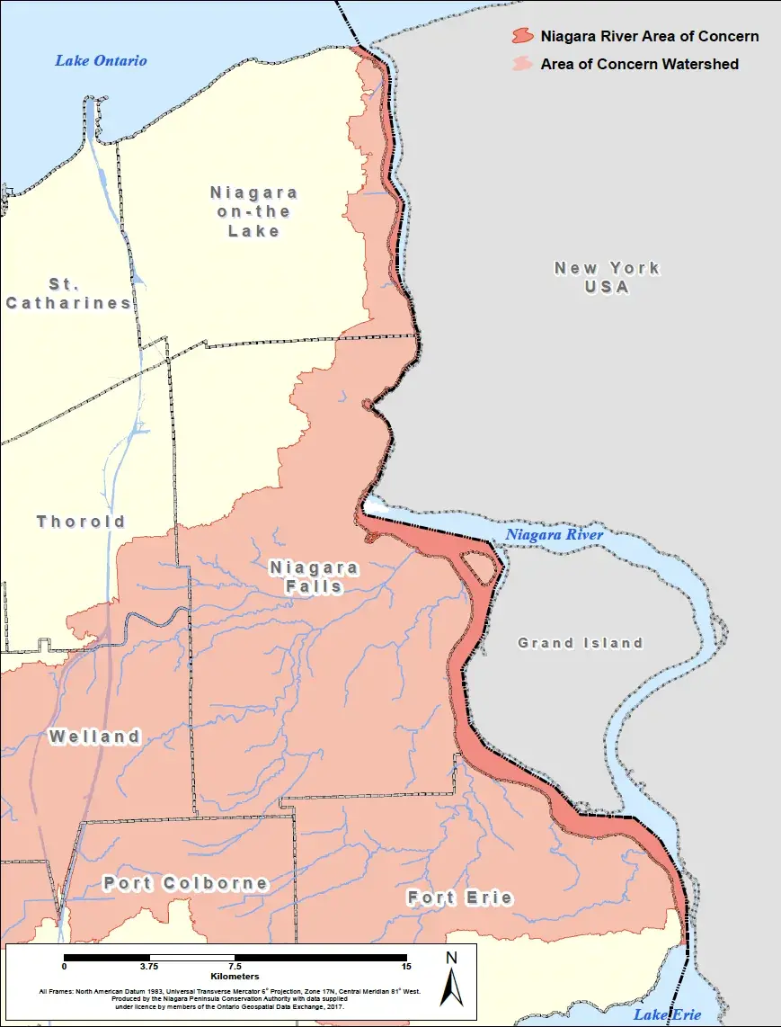
Under the GLWQA, last amended in 2012, the geographic scope of the Niagara River (Canadian) AOC includes the bed and surface water of the area covered by the Niagara River on the Canadian side of the international boundary, extending from Fort Erie to Niagara-on-the-Lake, as illustrated on the map below. The watershed (drainage basin) of the Niagara River in Ontario includes the Welland River and the smaller tributaries in the upper and lower Niagara River. The drainage area that flows into the river is referred to as the AOC watershed.
Restoration efforts are focused on the river itself, but some projects are implemented in the AOC watershed, when deemed necessary (i.e., Lyons Creek East is one example of a project within the AOC watershed).